The Village Trail
Map One|Map Two|
VILLAGERS’ STORIES FROM AROUND AND ABOUT EARLS COLNE
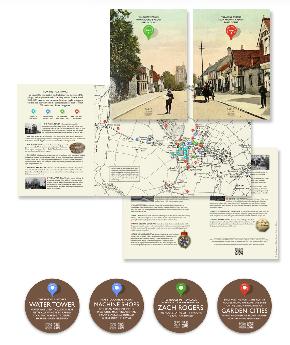
The village trail is in two parts. Map One covers the west of the village, and is approximately 5km long. Each location falls under one of four categories:
- The story of the Atlas Works
- The Hunt family and Earls Colne
- The workers and trades of Earls Colne
- Earls Colne down the centuries
Map Two covers the east of the village and is 4km long. Each location falls under one of three categories:
- The Hunt family and Earls Colne
- The workers and trades of Earls Colne
- Earls Colne down the centuries
Both maps use the OS 6 inch 1888-1915 map, so more modern locations might not appear but the trail pin will be in the right location.
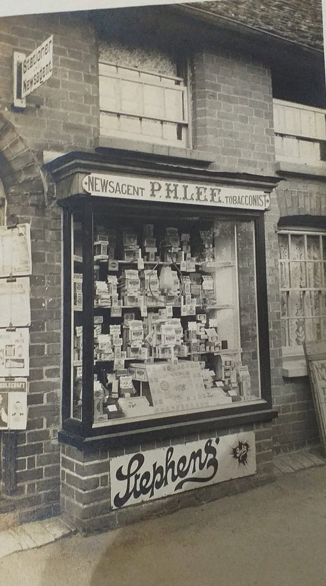
The map cover is of a post card of Earls Colne High Street produced by Hamish Valentine for P H Lee’s newsagents on the High Street near the church. One of the largest postcard printers in the country at the time was Valentines of Dundee, Scotland – they employed nearly 1000 people at their peak. CLICK HERE to find out more.
In around 1900 a branch of the Valentine family moved into Earls Colne – mother, father & two adult children. The daughter, Mayence was apparently a piano teacher at the Grammar School in York Road, and the parents retired to Earls Colne with their son, Hamish Valentine, to be close to their daughter.
The family bought land opposite the Grammar School in York Road and had a house built – “Luton Lodge” – which is now the Constitutional Club. This was before the Village Hall was built in 1912. As the family were wealthy, Hamish did not have to work; however, following the family tradition he commenced publishing postcards illustrating views around Essex – his name appeared on each postcard that was printed. There was more to Hamish than producing postcards, to find out more about the Hamish Valentine CLICK HERE.


(Village Trails Project manager – Jeff Carter, Design and Words – Steve Gibbons)